It is only necessary to address one setting in Civil 3D to place points at either their actual elevation or to flatten them on the XY plane.
The setting is on the "3D Geometry" tab in the edit "Point Style - ?????"
dialog box. The property "Point Display Mode" can be set to one of the
following:
Use Point Elevation
Flatten Points to Elevation (with Point Elevation set to 0)
or
Exaggerate Points by Scale Factor
This allows on the fly changes to where the points are in order to osnap to
them.

2 comments:
I am very suprised that no one has posted anything on this topic. I had this setting incorrect for what I was trying to do, and this caused me several headaches. I posted my original problem in the autodesk DG and I think Angel is the one who answered it.
I think a lot of you out there are having problems and this may be the culprit. If you have your point style set to use point elevation and try creating parcel lines by snapping to those points (essentially creating a 3d line) I can almost bet (from my experience) you will have some problems.
For example if you have a prop corner found in the field and say it has an elevation of 4000'. Then you calc a prop corner 200' away and in your calculations you give it an elev of 0' because for a calculated prop corner elevations do not matter.
I don't even attempt to be an expert or explain why this causes problems, however, for me it did.
When in this case I used the auto layout command and specified a frontage distance, was C3D figuring a horizontal distance or was it using the slope distance along the line. In this case graphically in plan view would not appear be very far away from the adjoining parcel.
I had a lot of crashes before I figured this setting out. Now I have all of my points set to 0', and (knock on wood) have not had a crash since)
The question I have is, why would you need to leave the markers at the point elevation????
I am new to this stuff so don't beat me up too bad:)
Kudos to Angel for pointing this setting out to me, and with my knowledge level probably have no buisiness posting in there. I mostly am interested in this and want to stir the pot a little bit!!!
First, I am glad that I was able to help.
To your question of why one might want the point markers at the point elevation?
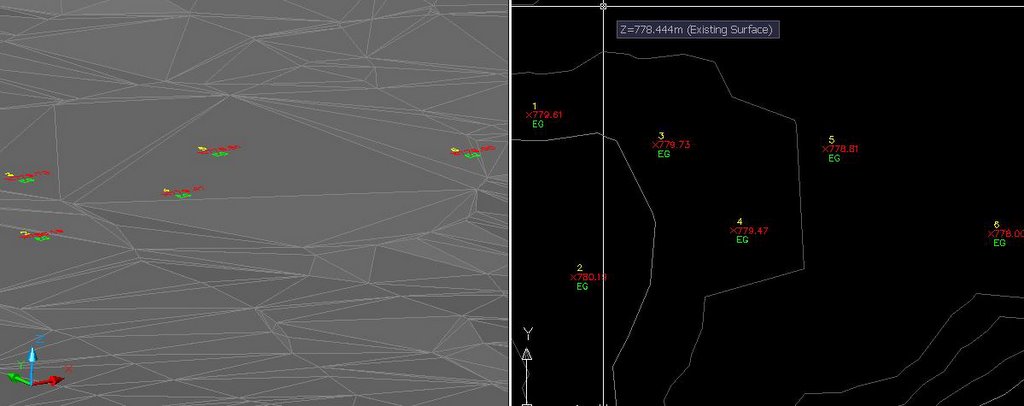
One answer would be visualization. Because points can have symbols attached to them, 3D trees or street light symbols would be up on the surface instead of down at 0.
Another reason may be to create 3D geometry by snapping to the nodes (markers).
Regarding the discussion groups, they are a convenient way to get help and advice. The only people who should not be posting there are those that do not have good intentions. Ultimately, the goal is for everyone to be productive and together we can find the true benefits of Civil 3D.
Thanks for your comments.
Post a Comment