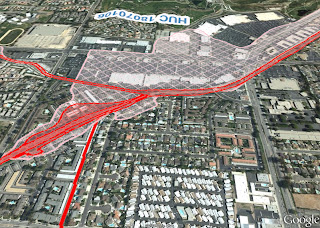
The title of this post is linked to a FEMA Mapping download page where we can download two KMZ files that show flood hazard areas and related info in Google Earth.
We have previously seen that Google Earth data (image and 3D surface) can be easily brought into Civil 3D.
Many will find this information very useful.
Be Better! ...Stay high and dry!

No comments:
Post a Comment