There is so much to share, and not nearly enough time to do so. Here is a super quick item.
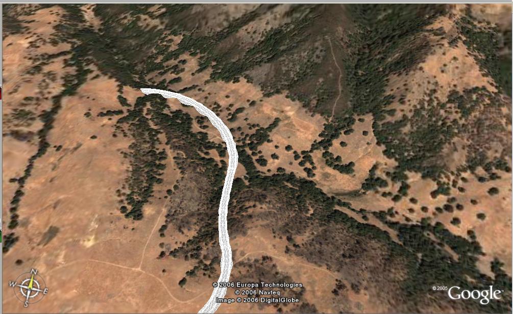
Today, during the webcast, Anthony Governanti, Technical Marketing Manager for Autodesk, shared a hidden command in Civil 3D 2007. EXPORTGOOGLEEARTH.
This command allows you to pick a corridor with a corridor surface in a drawing that has a coordinate system assigned and have the surface of the corridor exported to Google Earth.

1 comment:
Nice. I wonder why that command is hidden? It's a very cool and useful capability!
Post a Comment